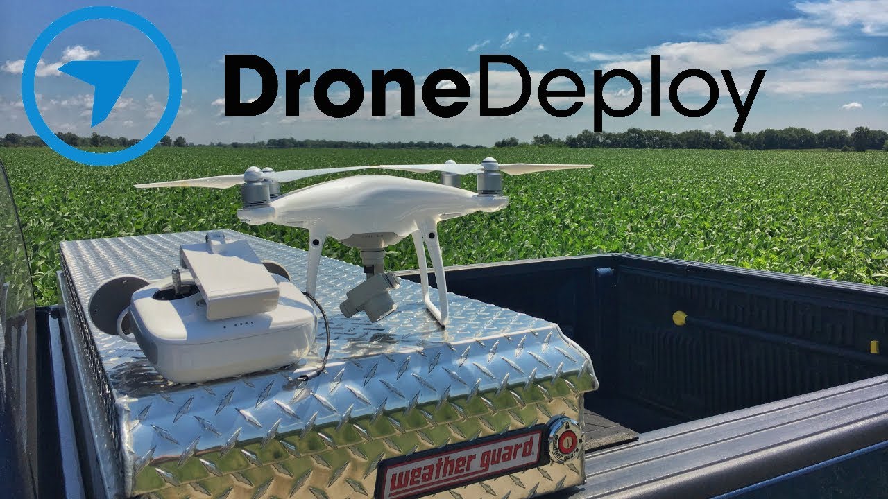
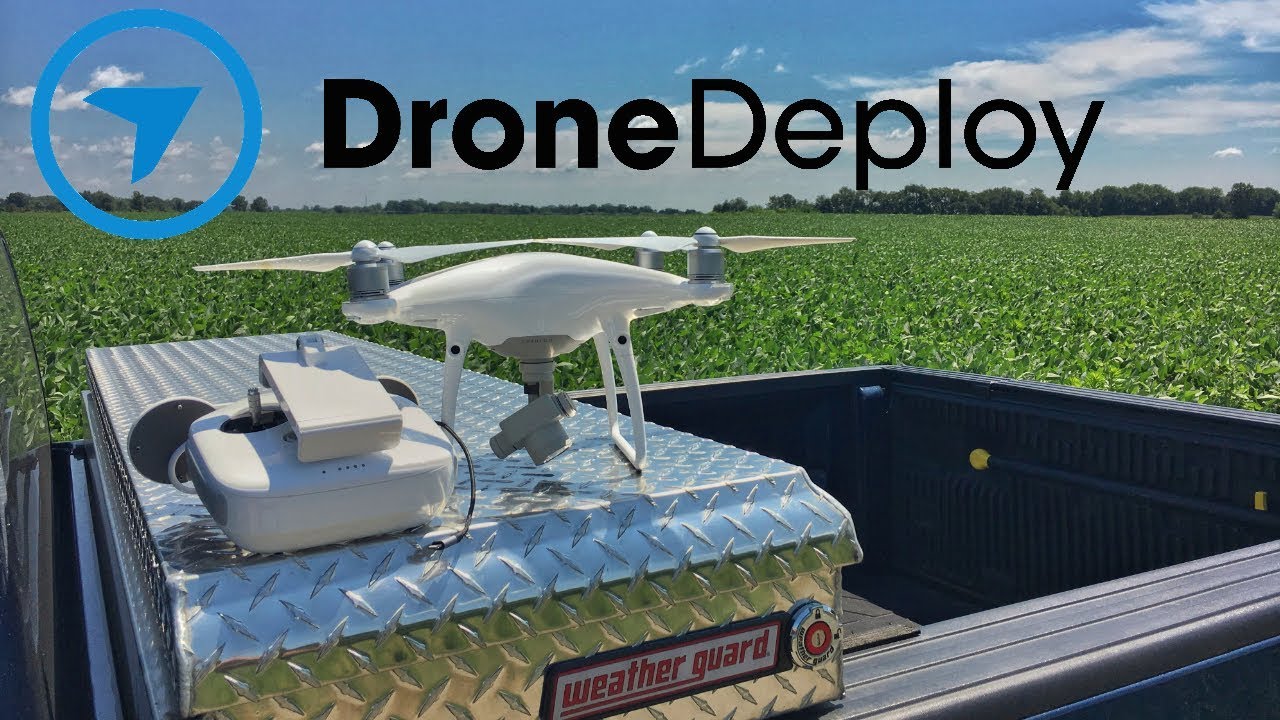
How to use drone deploy – How to use DroneDeploy? It’s easier than you think! This guide walks you through everything from setting up your account and connecting your drone to planning flights, processing data, and sharing your results. We’ll cover essential pre-flight checks, troubleshooting tips, and even explore advanced features like 3D modeling. Get ready to take your drone operations to the next level.
DroneDeploy simplifies the entire drone workflow, from initial planning to final data analysis. Whether you’re a seasoned professional or just starting out, this comprehensive guide provides clear, step-by-step instructions and best practices to ensure you get the most out of your drone and DroneDeploy platform.
Getting Started with DroneDeploy
DroneDeploy is a powerful cloud-based platform for planning, flying, and processing drone data. This section will guide you through the initial setup and configuration of your DroneDeploy account and drone connection.
DroneDeploy Platform Functionalities
DroneDeploy offers a comprehensive suite of tools for the entire drone workflow. Key functionalities include flight planning with automated mission creation, real-time flight monitoring, automated data processing, various map visualizations (orthomosaics, 3D models, point clouds), measurement tools, and collaborative data sharing features. It streamlines the process from initial planning to delivering actionable insights from your drone data.
Creating and Verifying a DroneDeploy Account
- Visit the DroneDeploy website and click on “Sign Up”.
- Provide your email address, create a password, and complete the registration form with your relevant information.
- DroneDeploy will send a verification email to your registered email address. Click on the verification link to activate your account.
Connecting Your Drone to the DroneDeploy App
- Download and install the DroneDeploy mobile app on your compatible smartphone or tablet.
- Log in using your newly created account credentials.
- Follow the in-app instructions to connect your drone. This typically involves selecting your drone model and allowing the app to access your drone’s data.
- DroneDeploy will guide you through the necessary permissions and settings required for successful integration.
Setting Up Your Profile and Preferences
Personalizing your DroneDeploy profile and preferences ensures a smoother workflow. This includes setting your units of measurement (metric or imperial), defining your preferred map types, and managing your notification settings.
- Profile Picture: Upload a profile picture for easy identification.
- Notification Preferences: Customize email and in-app notifications to receive updates on flight progress and data processing.
- Units of Measurement: Choose between metric (meters, kilometers) and imperial (feet, miles) units.
Planning and Pre-Flight Checklist
Meticulous planning is crucial for successful drone operations. This section details the steps involved in creating a pre-flight checklist and designing a flight plan within DroneDeploy.
Pre-Flight Checklist using DroneDeploy

Before each flight, ensure you’ve completed the following steps:
- Check drone battery levels and ensure sufficient charge for the planned mission.
- Verify GPS signal strength and stability.
- Inspect the drone for any physical damage or malfunction.
- Review the planned flight path within DroneDeploy and ensure it avoids obstacles and complies with regulations.
- Obtain necessary flight permissions or approvals, if required.
Sample Flight Plan for an Inspection Project
A typical inspection project might involve capturing high-resolution imagery of a building’s roof. In DroneDeploy, you would define a polygon encompassing the roof area, set the desired altitude and overlap percentages, and select the appropriate camera settings.
Site Surveying and Data Acquisition Planning
Proper site surveying is essential. This involves assessing the site’s dimensions, identifying potential obstacles, and understanding any environmental factors that might impact the flight. Careful planning of data acquisition ensures you collect the necessary data for your project goals.
Defining Flight Boundaries and Altitudes in DroneDeploy

DroneDeploy allows you to define precise flight boundaries using polygon tools. This ensures your drone stays within the designated area. You can also specify the desired altitude to maintain consistent image capture.
Flight Operations and Data Capture
This section covers launching a flight mission, monitoring its progress, handling unexpected events, and best practices for data capture.
Launching a Flight Mission
- Ensure your drone is connected to the DroneDeploy app and that the flight plan is ready.
- Initiate the flight from within the app, following the on-screen prompts.
- Monitor the flight’s progress closely.
Monitoring a Flight in Real-Time
DroneDeploy provides real-time flight tracking. You can monitor the drone’s location, battery levels, and signal strength directly through the app. This allows for immediate intervention if necessary.
Handling Unexpected Events During Flight
Unexpected issues, such as low battery or GPS signal loss, can occur. DroneDeploy’s safety features help mitigate these. If an issue arises, follow the app’s instructions for safe return-to-home procedures.
Achieving Optimal Image Overlap and Quality
Optimal image overlap (typically 70-80% forward and 60-70% sidelap) is crucial for accurate data processing. Ensure your camera settings are appropriate for the lighting conditions and desired level of detail.
Post-Flight Processing and Data Analysis: How To Use Drone Deploy
After your flight, the data needs processing to generate usable maps and insights. This section Artikels the steps and options available in DroneDeploy.
Uploading and Processing Flight Data
- Once the flight is complete, the drone will automatically upload the captured imagery to DroneDeploy.
- DroneDeploy will initiate the processing based on your chosen settings.
- You can monitor the processing progress within the app.
Processing Options Comparison
| Processing Speed | Accuracy | Cost | Notes |
|---|---|---|---|
| Fast | Medium | Low | Suitable for quick turnaround projects where high precision isn’t critical. |
| Medium | High | Medium | Balances speed and accuracy for most applications. |
| Slow | Very High | High | Ideal for projects requiring maximum precision, like surveying or construction. |
Map Types and Visualization Options
DroneDeploy offers various map types, including orthomosaics (2D maps), 3D models, and point clouds. You can customize the visualization by adjusting color palettes, adding annotations, and applying different filters.
Using Measurement Tools and Annotations
DroneDeploy’s measurement tools allow you to measure distances, areas, and volumes directly on the processed maps. Annotations help highlight specific features or areas of interest.
Data Sharing and Collaboration
Efficient data sharing and collaboration are vital for project success. This section explores DroneDeploy’s features for teamwork and data dissemination.
Sharing Processed Data and Reports
DroneDeploy allows you to share processed data and reports with stakeholders through various methods, such as email, direct links, and downloadable files.
Generating and Exporting Reports
You can generate professional reports directly from DroneDeploy, including PDF reports with maps, measurements, and annotations. These can be customized and exported for various purposes.
Collaboration Features
DroneDeploy supports team collaboration through shared projects and access controls. Multiple users can work on the same project, streamlining workflows and promoting efficiency.
Workflow for Efficient Data Sharing and Review
A typical workflow involves uploading the data, processing it, reviewing the results, making necessary adjustments, and then sharing the final report with stakeholders for feedback and approval.
Advanced Features and Applications
DroneDeploy offers advanced functionalities that extend its capabilities across diverse industries. This section highlights some of these advanced features and applications.
Advanced Features: 3D Modeling and Thermal Imaging
DroneDeploy supports 3D model generation from processed data, providing a three-dimensional representation of the surveyed area. Thermal imaging capabilities enable the detection of temperature variations, useful in various applications.
Drone Model Compatibility
DroneDeploy is compatible with a wide range of drone models, offering flexibility in choosing the right drone for your specific needs and budget. Factors to consider include camera resolution, flight time, and payload capacity.
Creating and Sharing a 3D Model
After processing the data, DroneDeploy automatically generates a 3D model. This can be viewed within the platform and exported in various formats for sharing and integration with other software.
Getting started with DroneDeploy is easier than you think! First, you’ll want to set up your account and connect your drone. Then, check out this awesome guide on how to use DroneDeploy to learn about flight planning and data processing. Finally, mastering data analysis within the platform will unlock the full potential of your drone surveys, so keep practicing!
Applications in Different Industries
DroneDeploy finds applications in numerous industries including construction (site progress monitoring), agriculture (crop health assessment), mining (topographical mapping), and infrastructure inspection (bridge and pipeline surveys).
Troubleshooting and Support

This section provides troubleshooting steps for common issues and details support resources available to DroneDeploy users.
Troubleshooting Common Issues
Common issues include connectivity problems, processing errors, and difficulties with flight planning. DroneDeploy’s help center provides detailed troubleshooting guides for most common problems. Checking the app’s settings and ensuring proper drone connectivity are crucial first steps.
Support Resources and Contact Information
DroneDeploy offers various support resources, including a comprehensive help center, online tutorials, and a dedicated support team that can be contacted via email or phone.
Preventing Common Errors, How to use drone deploy
Regularly checking drone battery levels, ensuring GPS signal strength, and reviewing the flight plan before each flight significantly reduces the likelihood of errors.
Frequently Asked Questions
- Q: My drone isn’t connecting to the app. A: Ensure Bluetooth and/or WiFi are enabled on your drone and device. Check for any app permissions that need granting.
- Q: My data processing is taking a long time. A: Larger datasets require more processing time. Consider reducing the area of the flight plan if possible.
- Q: I’m having trouble creating a flight plan. A: Refer to DroneDeploy’s tutorials and documentation for detailed guidance on flight planning.
Mastering DroneDeploy opens up a world of possibilities for efficient data collection and analysis. By following this guide, you’ve gained the skills to confidently plan and execute drone missions, process high-quality data, and share your findings effectively. Remember to explore the advanced features to further optimize your workflow and unlock the full potential of DroneDeploy across various applications.
Quick FAQs
What drones are compatible with DroneDeploy?
Getting started with drone mapping? Planning your flight path is key, and DroneDeploy makes it easy. Check out this awesome guide on how to use DroneDeploy to learn the basics. From there, you can master processing your images and generating accurate maps – it’s all about efficient workflow!
DroneDeploy supports a wide range of drones. Check their website for a complete list of compatible models.
How much does DroneDeploy cost?
DroneDeploy offers various subscription plans; pricing details are available on their website.
Can I use DroneDeploy offline?
No, an internet connection is generally required for most DroneDeploy functionalities.
What file formats does DroneDeploy export?
DroneDeploy supports various export formats including orthomosaics, point clouds, and 3D models. Specific formats depend on the processing options selected.
